ManVanNoPlan visits Donauworth, Harburg, Nordlingen, Dinkesbuhl and Rothenburg ob der Tauber
In the fifth leg of our motorhome road trip of Germany, ManVanNoPlan visits Donauworth, Harburg, Nordlingen, Dinkesbuhl and Rothenburg ob der Tauber
Wednesday 2nd of October
Friedberg to Donauwörth (48.714459, 10.778557)
It was smirr (fine rain / drizzle) as we Scots say when we went to service the van before moving the forty minutes up to Donauwörth, another town on the Romantic Road that is on the list of must see little towns.
On Monday when we arrived in Friedberg I mentioned we were going to start our wine collection so we drove across the road to Lidl and bought twelve bottles of Riesling Chardonnay at € 2.59 (£ 2.16) a bottle so John Swinney won’t be getting £ 6 a bottle from us any time soon!
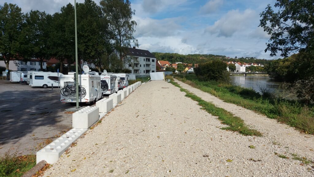
The Stellplatz at Donauwörth was easy to find, and again it is a specially designated section of a car park but has all the motorhome facilities you need. It was grey and raining so we sat it out waiting for a break in the conditions to get out and see the town which has an Airbus helicopter factory and a few Black Hawk type helicopters were landing and taking off throughout the afternoon.

Another Brittish couple came in and I had a chat to him as I went to get my 24 hour parking ticket. They were heading south on the Romantic Road and said that if we were heading north then the best three scenic towns are still ahead of us, which is good to know.
The smirr put an end to our conversation as it turned into a heavier drizzle and the sanctuary of our respective vans was sought. After lunch it started to clear up so we togged up and headed out to see the town. The first thing to see is actually only feet away from Otto and that is the river flowing past the Stellplatz as it is the famous River Danube. One of the most popular pieces of classical music of all time is ‘The Blue Danube’ composed in 1866 by the Austrian composer Johann Strauss II, but I have to report that the fast flowing Danube, at this point anyway, is a murky brown colour, not blue!
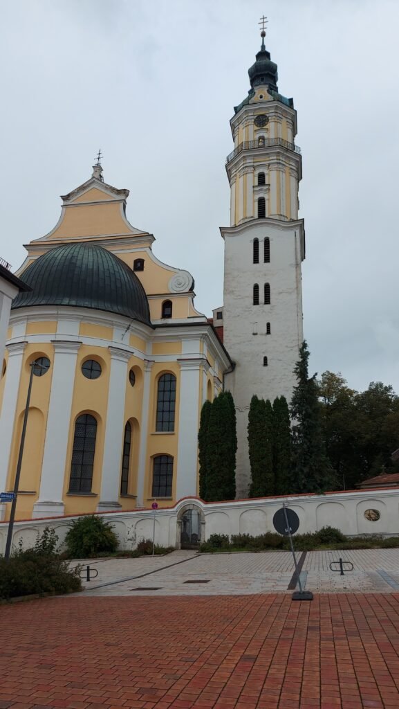
We walked to the far end of the town and crossed the other river which flows through the town, the Wörnitz, and after climbing up about fifty steps arrived at a fairly large and impressive monastery and from there it is only a few yards to the top of the Reichsstrasse, the main street that runs through the town and at this point there is brick built church which is more functional than the monastery.


Like so many, towns in this area, it is very pretty with different pastel coloured buildings lining both sides. The striking thing is just how many individual private businesses there are in German towns and Donauwörth is no exception.
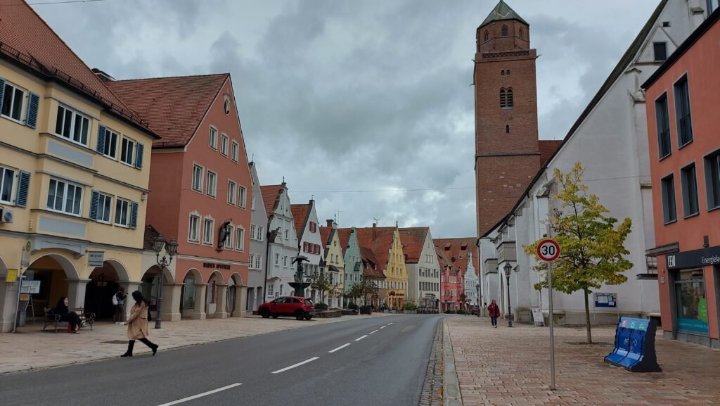

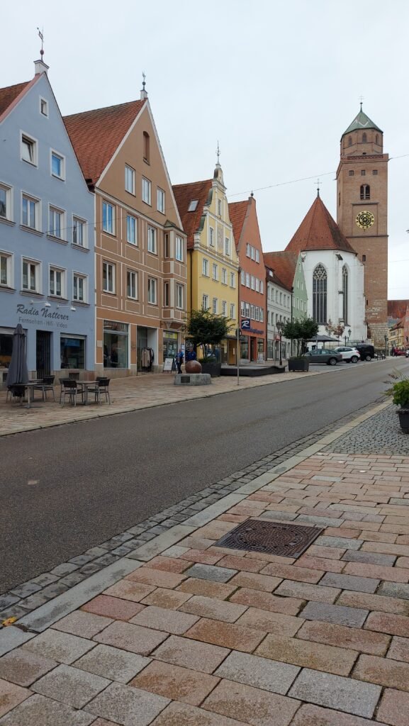

We walked down the hill to the Marienbrunnen (town square) where there is the obligatory fountain in front of the Rathaus (town hall) and this one was more ornate than many we have seen to date.


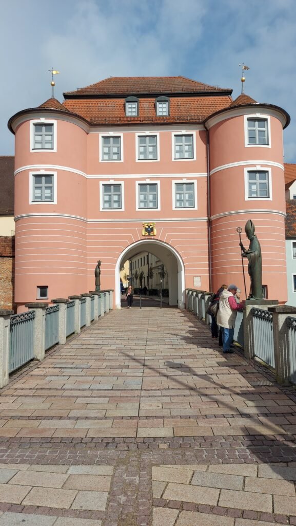
We then crossed over the main street to head down a lane and through the Reider Tor, a very impressive pink building that is the only preserved gate from the old town, built in 1811, containing a museum with displays of the city’s history.
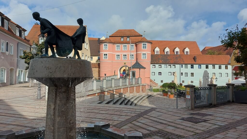
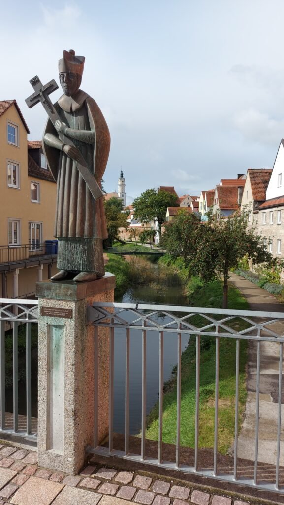
At this point you cross back over the Wörnitz in a very pretty area called the Fischerplatz which contains historic buildings and about half a dozen cafes with outdoor seating, all of which were closed. The weather had improved dramatically and it was now warm and sunny but with all the cafes closed, The Navigator would have to wait until we were back at the van for her afternoon coffee.



I plugged into the electricity to have a few hours of heating and to use my laptop to upload the second of our catch-up blogs which will go live tomorrow morning. We spent the rest of the evening watching some YouTube videos and the first episode of the new Gone Fishing series.
Thursday 3rd of October
Donauwörth to Harburg (48.782899, 10.686141)
I’m not sure what our preconception of the Romantic Road was going to be before we started it. Maybe it would be a two lane road winding its way through forested hills with a fairy tale castle on every hilltop and every stopover would be in a medieval town with half-timbered buildings being the norm.
Well, for the most part there are no forested hills and the road is a modern fairly straight dual carriageway, but at least the towns are ancient and pretty. Our next stop is Harburg, which is only a fifteen minute drive from Donauwörth and is meant to be very pretty, with a stunning hilltop castle, so lets hope it lives up to expectations.
It does, and for good measure, the drive here was, for the most part, on an ordinary road through rolling hills which were mostly wooded.
On our way into Donauwörth yesterday we passed a Total garage with diesel at € 1.48 (£ 1.25) and LPG Gas at € 1.06 (89p) so we headed back there and topped up both tanks, as these prices, especially for the diesel, was the cheapest we’ve seen so far. The route on to Harburg took us through the centre of the town that we had walked through yesterday and was surprised to see not only the Rewe and Netto supermarkets closed, but every shop and business were closed too. We later found out it was a national holiday in Germany to celebrate the reunification of East and West Germany in 1990. We first encountered this in 2007 on our very first motorhome road trip abroad to Kassel when we were there to visit my grandfather’s war grave for the first time.
There was a couple gathering chestnuts from a tree in the middle of the car park “für die Kinder” and The Navigator extracted the information from the woman that it was € 8 (£ 6.73) for 24 hours with electricity included in this price. As the town was going to be closed today, and the pitch price was a bargain, we decided to stay for two nights.

After lunch, and a nap, we walked the short distance to Harburg Castle which is one of the largest, oldest and best preserved castle fortresses in Southern Germany dating from the 11th / 12th century and still privately owned today by the Count of Oettingen-Wallerstein, having been in his family for three hundred years.

Harburg Castle is located high above the valley of the Wörnitz River on a steep mountain spur falling to three sides at the south-eastern entrance of the Ries Crater on the Romantic Road. Only after the castle was built the town of Harburg was developed on the narrow valley floor between the Wörnitz and the castle rock.

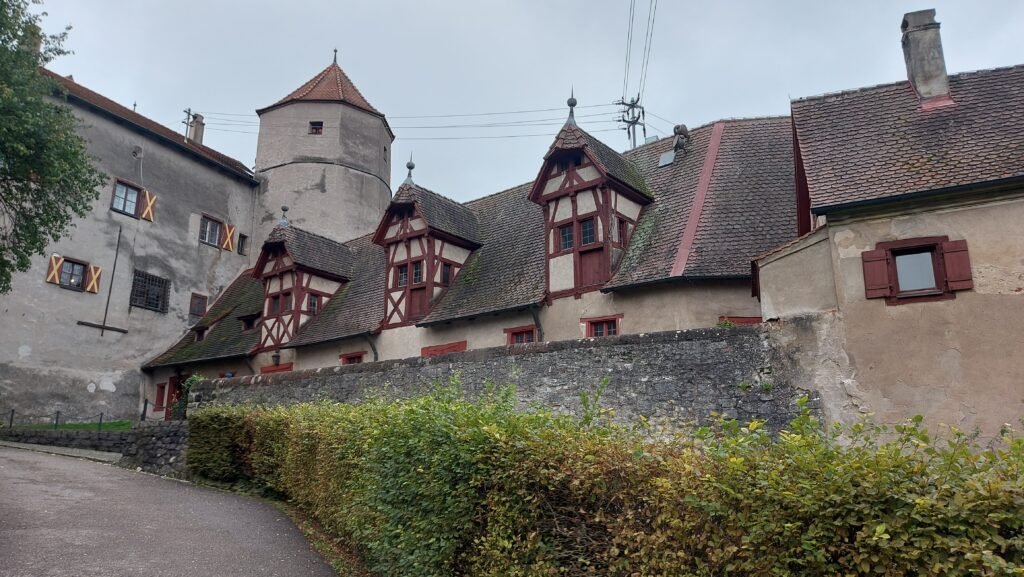

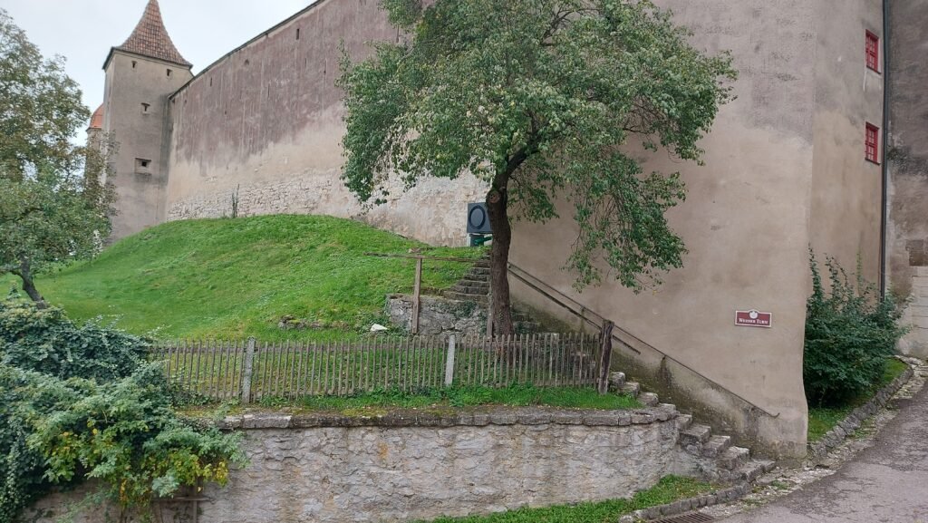
It costs € 3.50 (£ 2.95) each to gain entrance to the impressive inner courtyard where you can wander about and admire the mostly 15th / 16th century buildings but we passed on paying a further € 5.00 (£ 4.21) each to gain entrance into the buildings.
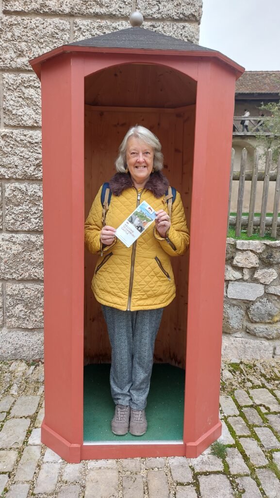

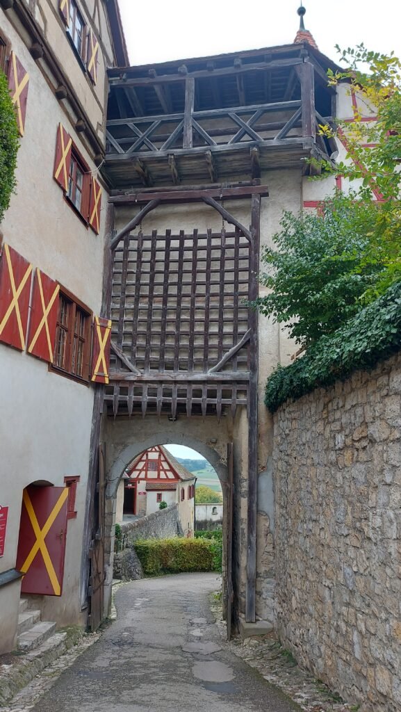
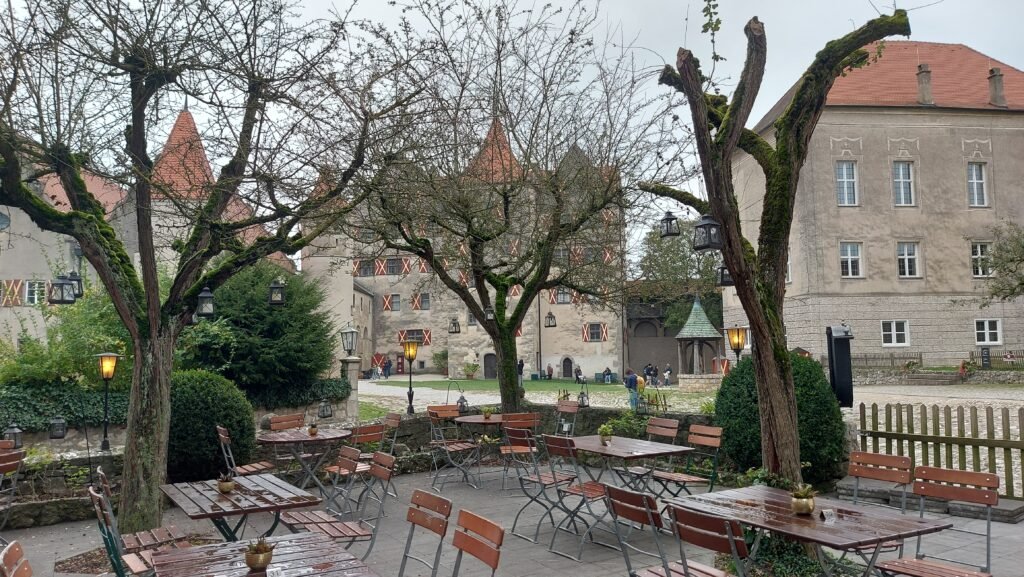


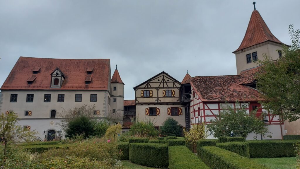
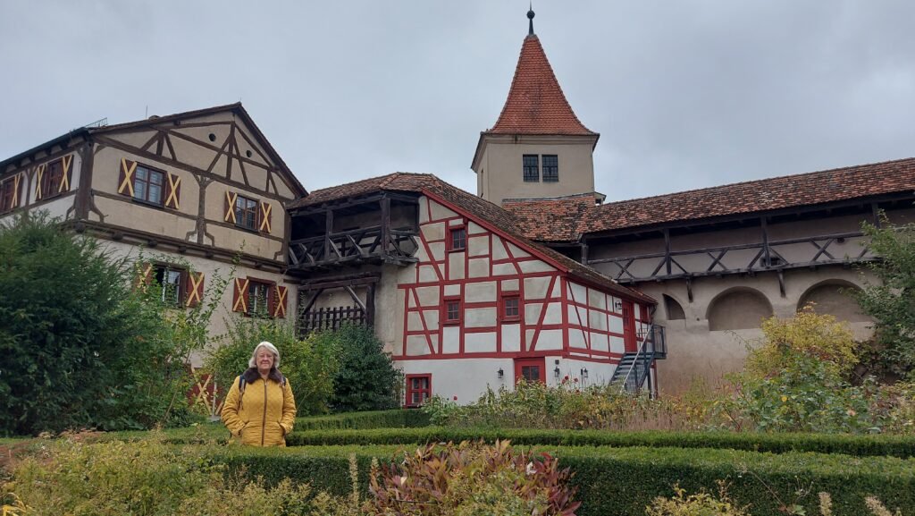
The courtyard of the castle was pretty impressive and well worth the entry fee. From the ramparts you get a fantastic view of the town below and the ancient bridge over the river Wörnitz.
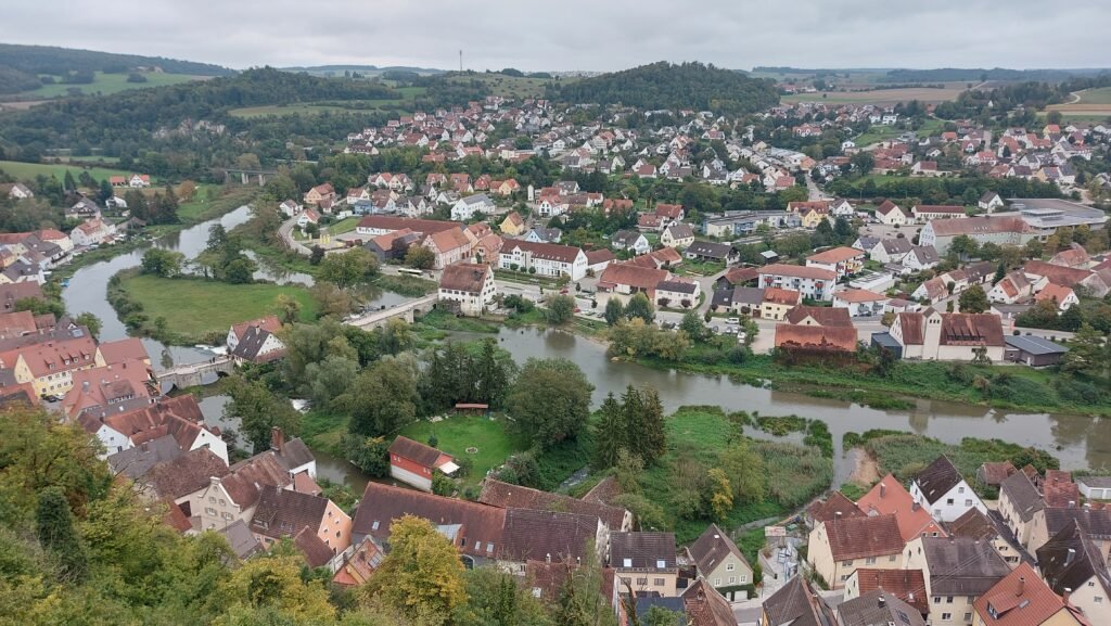
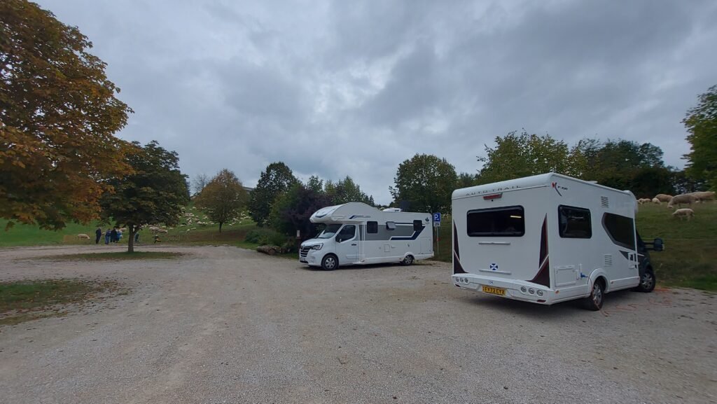
After spending quite a while in the castle taking it all in, we headed back to the van to relax for the rest of the afternoon. Later that afternoon we saw a man walking down the hill near us putting poles in the ground connected by plastic netting. Before we could say ‘One Man And His Dog’, hundreds of sheep and lambs appeared along with two donkeys and proceeded to announce their presence by baa-ing at the top of their voices, however we were thankful that they observed my 10pm Stellplatz silence rule and in the morning they were all mysteriously gone.

Friday 4th of October
Harburg to Nördlingen (48.855505, 10.484586)
We did originally think that we would stay for two nights to make use of the inclusive electricity, but we needed to service the van and that was not possible here. Yesterday we didn’t have time to walk down the very steep incline to see the village and this morning it was raining quite heavily so we weren’t going to walk down today either.
We were both having 4g issues with our phones which meant there was no internet signal so I couldn’t connect to Google Maps to guide us to our next destination. It also meant I took a wrong turning on the way down the hill and ended up driving through the centre of the medieval village, which, back in the day, was designed for horse and carts, not for a motorhome. Thankfully we made it through without encountering oncoming traffic or hitting one of the overhanging half timbered buildings!
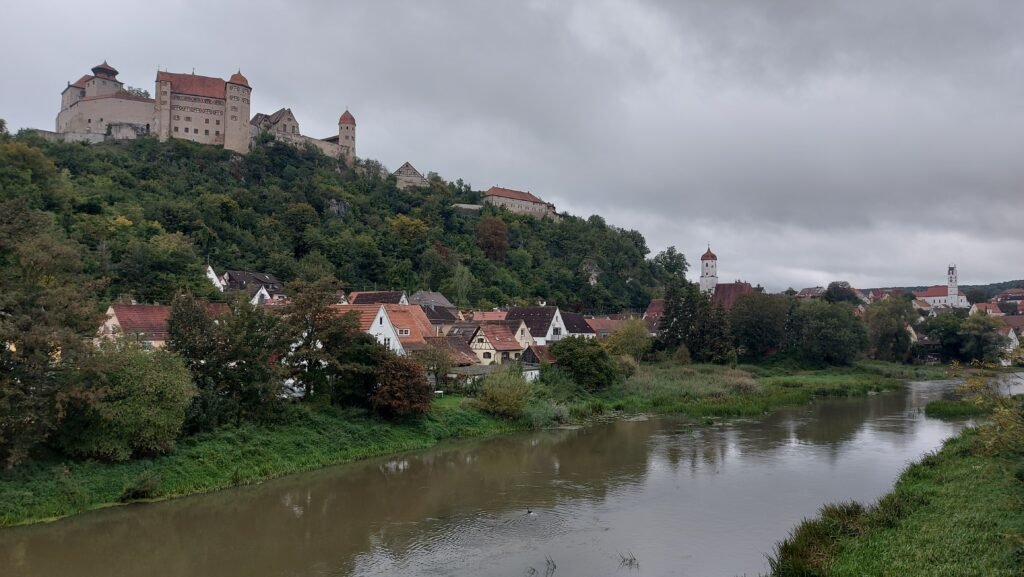
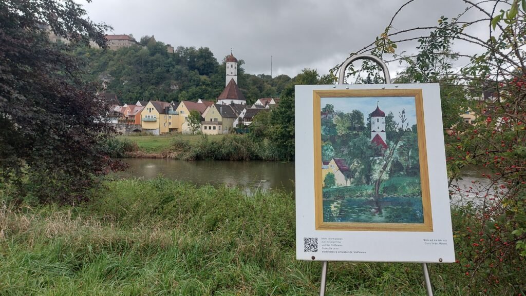
Once down and on the main road I managed to stop at two different spots to take a few pictures as it is quite a pretty view with the old buildings, bridge, towers and the castle perched on top of the hill. Just a pity it was tipping down!

We set off for Nördlingen without the benefit of the satnav, but a fair idea where the Stellplatz was in relation to the town.
“Nördlingen is a town in northern Bavaria and it has two claims to fame. First, it was built in an impact crater 15 million years old and 25 km in diameter—the Nördlinger Ries—of a meteorite which hit the Earth with an estimated speed of 70,000 km/h, and left the area riddled with an estimated 72,000 tons of micro-diamonds. Nördlingen was first mentioned in recorded history in 898. The town was the location of two battles during the Thirty Years’ War, which took place between 1618 and 1648. Its second claim to fame is it is one of very few towns in Germany that still have completely intact city walls, joining the ranks of Rothenburg ob der Tauber, Dinkelsbühl and Berching, all of them in Bavaria.”
We found the Stellplatz without too much bother, serviced the van and after parking up I went to pay at the machine and found it was out of order which will save us € 7.50 (£ 6.27) a night for the next three nights. After lunch, and with rain threatening, we set off to walk into the walled town which is only about a few hundred yards from where we’re parked.

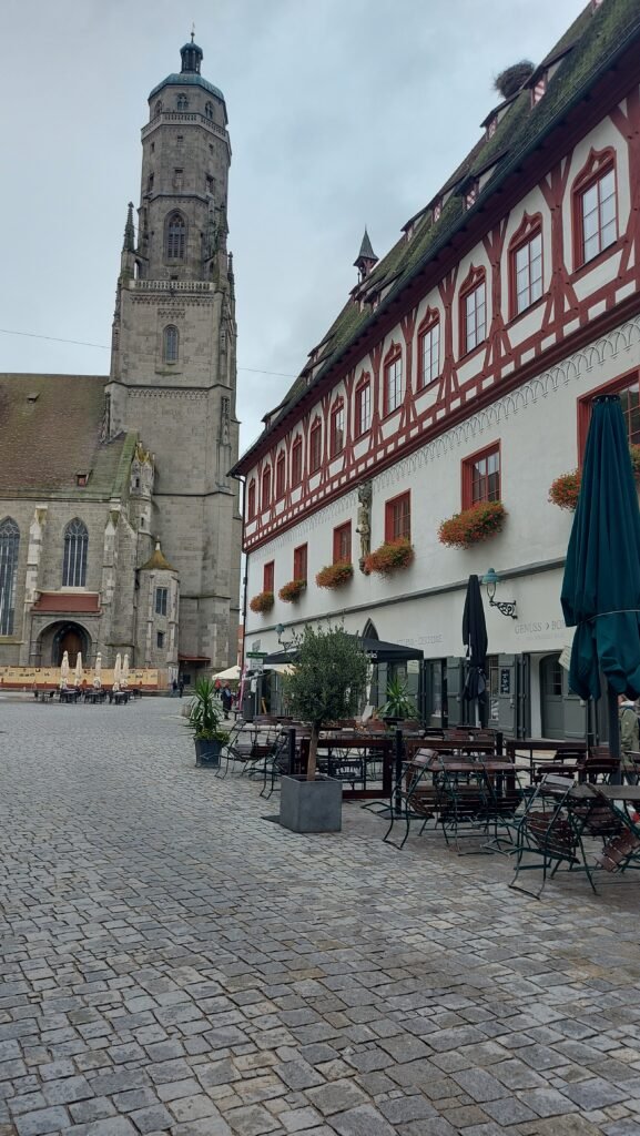
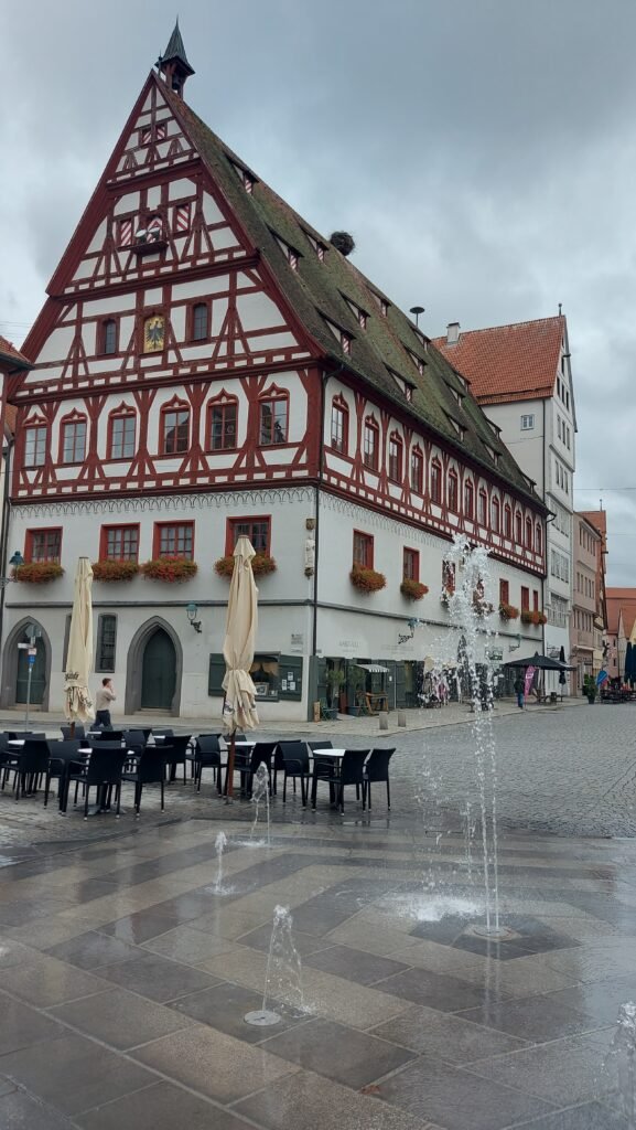
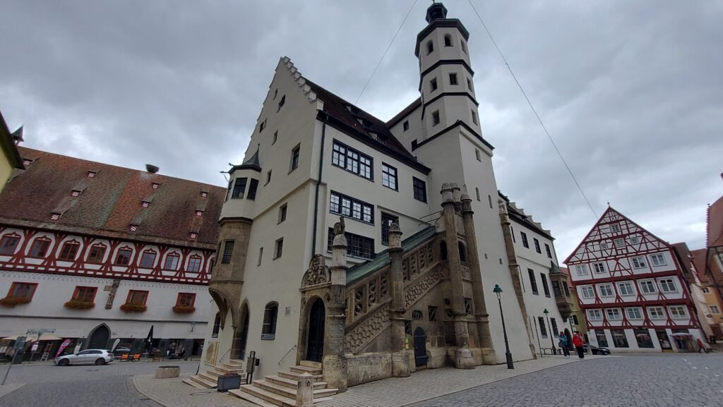
The ramparts surrounding the city are impressive and we may attempt to walk around them tomorrow, all 2.7km of them, weather permitting. We walked through the Baldinger Tor, one of the impressive city gates and headed into the Old Town square, passing so many buildings full of character. Immediately you notice the striking Gothic hall church, of St George’s. The 350 foot tower, which is named “Daniel” is impressive and can be seen for miles around.
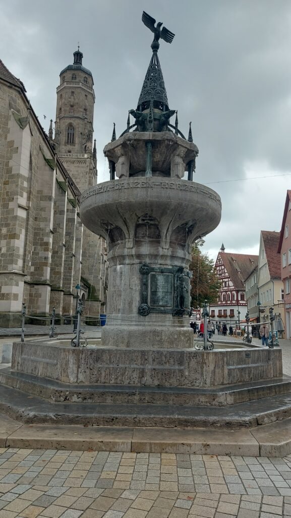

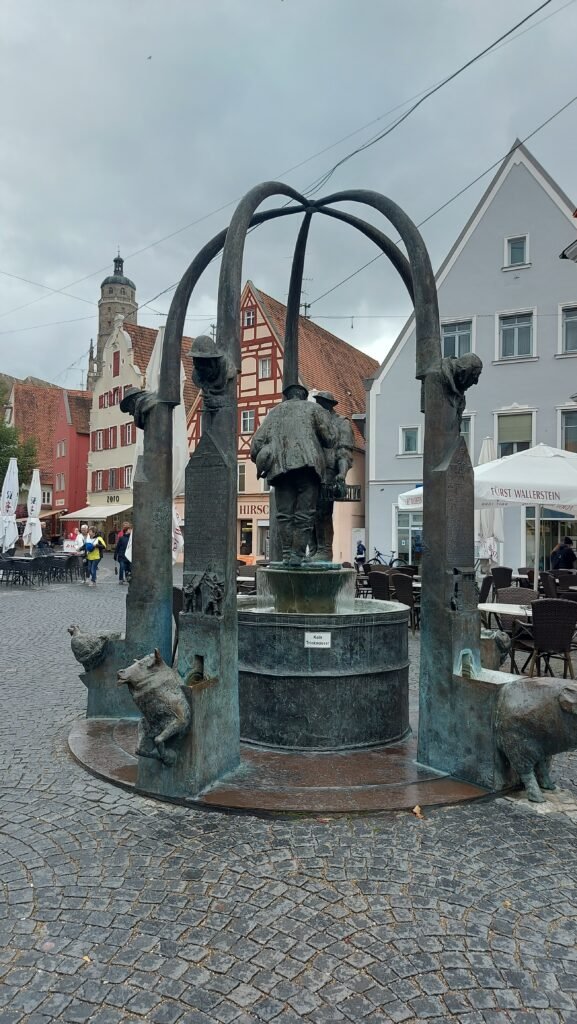
This walk was meant to be just a scounting mission for a full tour tomorrow so we passed on by and walked about a bit more before having our afternoon, tea, coffee and cake. As we passed the church of St George we could hear organ music coming from inside and could not resist going in to see what was happening.
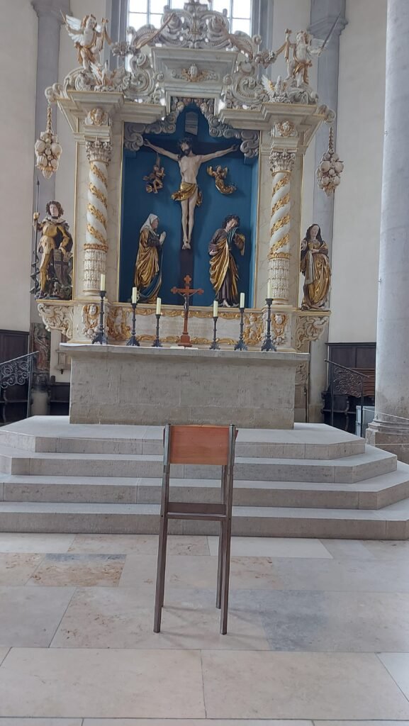
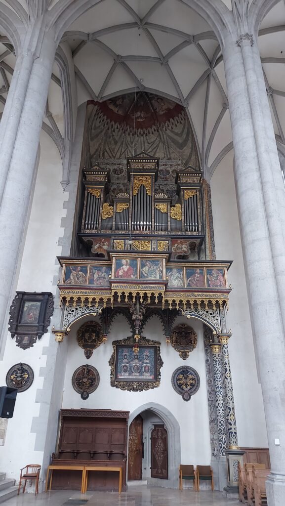
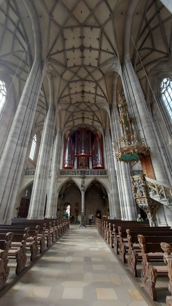
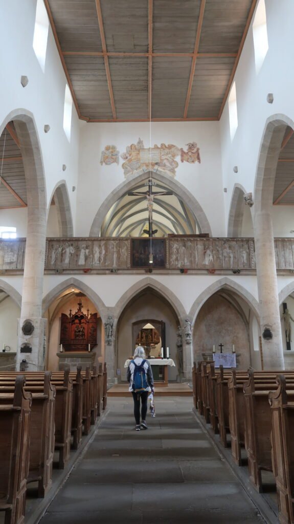
There are two sets of organ pipes, one considerably older than the other and it was on the ‘newer’ one that someone was belting out what we assumed were hymns with some gusto. The church’s interior is impressive, with soaring vaulted ceilings, intricate stained glass windows, and ornate decorations and furnishings. The church is also home to a number of important artworks, including a large altarpiece and a number of statues and frescoes.
Once outside you get a better view of the Daniel Tower which was built in the 15th century and is known for its distinctive octagonal shape and its copper-green roof. The tower also features four large clocks, each facing a different direction, which were installed in the early 20th century. Visitors can climb to the top of the tower to enjoy breathtaking views of the town and the surrounding countryside but we resisted that temptation. By the way, the tower is named after the biblical figure Daniel, and its clock faces display images of Daniel and other biblical scenes. The tower also has a carillon, a musical instrument consisting of a set of bells that are played using a keyboard which is played daily and can be heard throughout the town.
It was getting very dull and threatening to rain so we made our way back to the van to hunker down for the evening.
Saturday 5th of October
Nördlingen
Yesterday we had a preview of the town in the afternoon, so today we were going to spend more time exploring, not only the centre, but the other parts that make this town so interesting. I had hinted yesterday that we may make an attempt to walk around the town’s 2.7km ramparts and that was the first thing on today’s agenda.
Nördlingen’s medieval walls stand as a remarkable testament to the town’s historical past, and their near-perfect preservation invites visitors to embark on a captivating journey. The entire loop offers panoramic views of the town’s charming narrow cobbled streets and the picturesque countryside that stretches beyond. From the Stellplatz it is only a few hundred yards to Baldinger Tor which was first mentioned in 1376 and rebuilt in 1430 and is a testament to those builders that it is not only still standing, but is one of the main access points for today’s modern traffic.

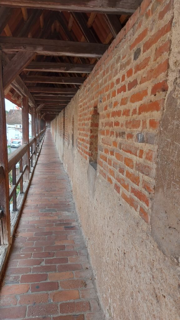
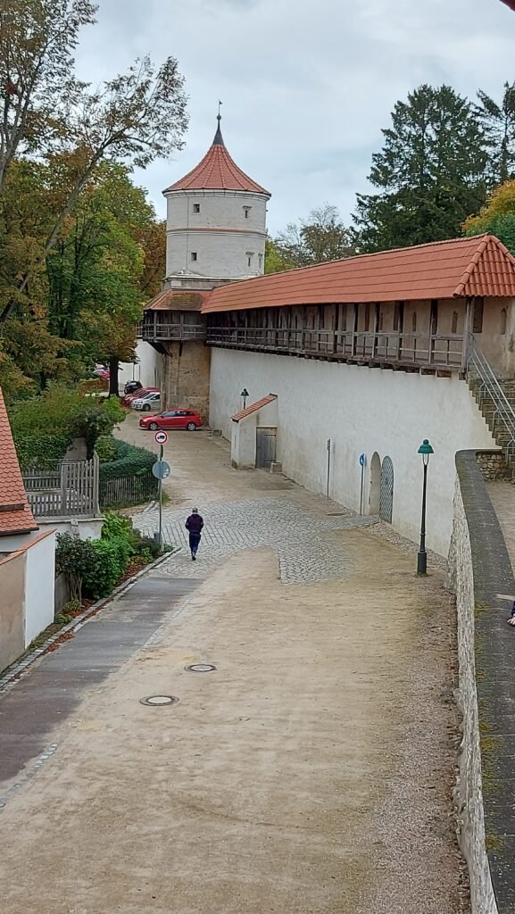
We climbed the covered stairs and onto the wall to circumnavigate the town anti-clockwise and immediately you are struck by the sheer scale of the wall and its defensive capabilities. Most of the walkway is covered by a tiled roof which we were grateful for as there was the odd few spots of rain about, although thankfully it did not come to much until later in the evening.

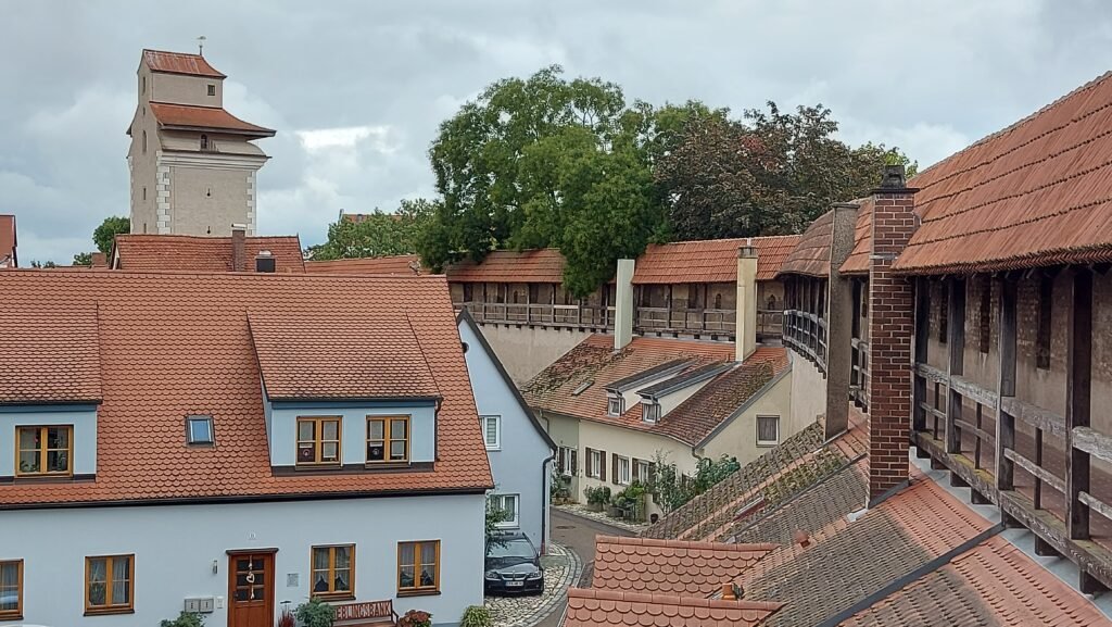
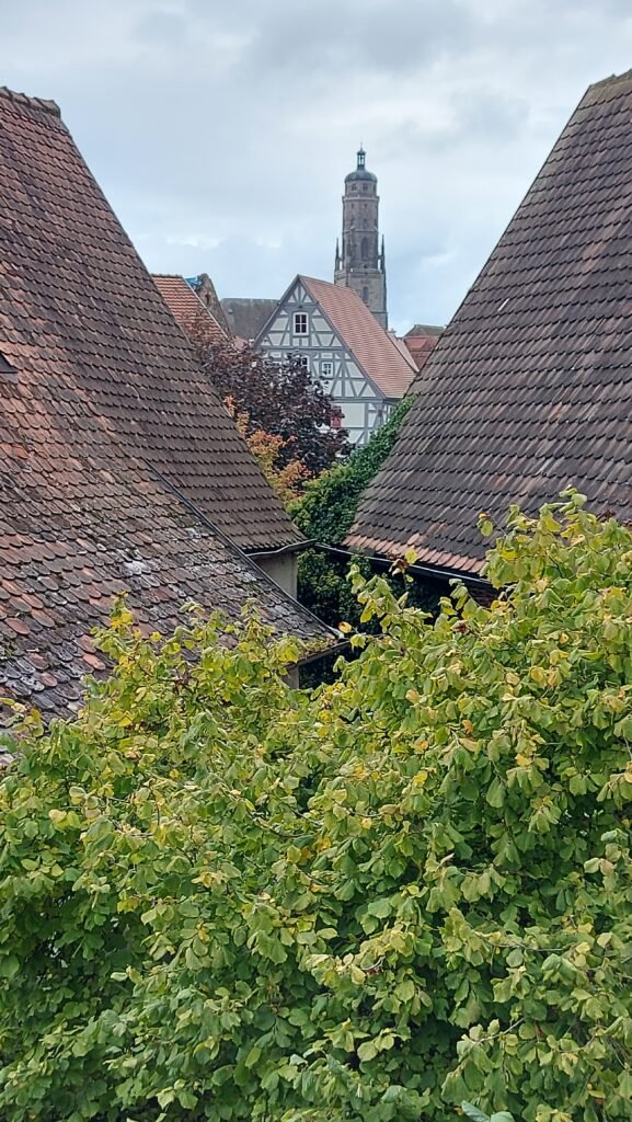
As you make your way along the walls, we encountered several impeccably maintained towers, each adding to the appeal of this unique experience. The view of this ancient town from roof height is intriguing as you see into the gardens and over the rooftops to the central landmark of the Daniel Tower. Every few yards there are slits in the wall for archers to defend the town, especially around the time of the Thirty Years War and occasionally there is a larger opening which allows you to see out into the countryside and the buildings outside of the town wall.


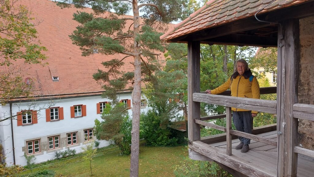
The season is well and truly into Autumn and everywhere you look, both inside and outside the wall, there are chestnut trees with their leafs now a rich golden colour and apple trees laden with apples of many different varieties. There is one section where you have to come down onto the street as the inside of the was is being re-rendered but then you climb up another staircase for the last part of the walk. Because there were so many interesting things to see, it never really felt like we had walked 2.7km but my phone app confirmed we had completed 5,000 steps on our tour of the ramparts.
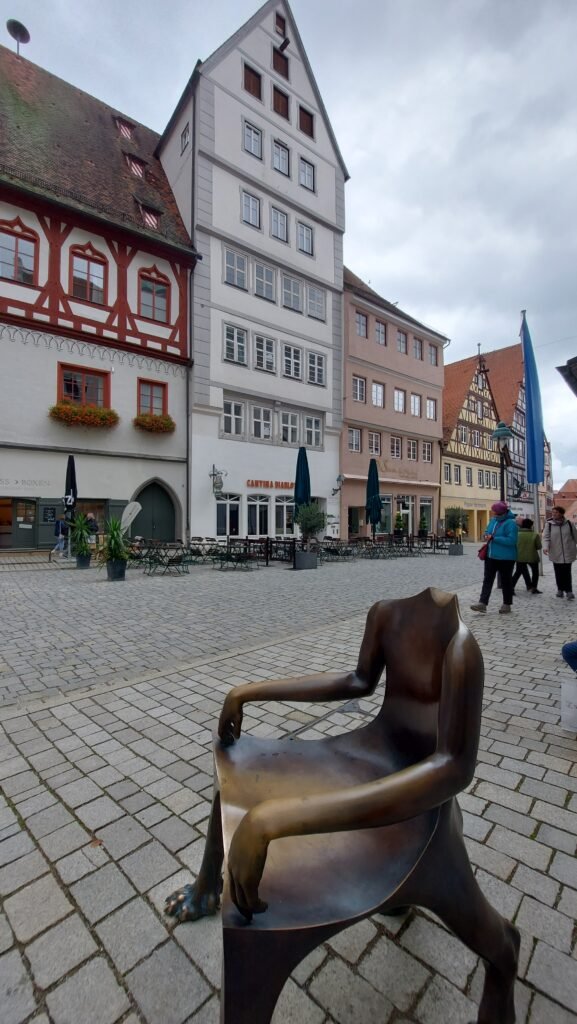
We exited the ramparts at our entry point of Baldinger Tor and headed into the town centre where a market had taken over the square outside the church and along a few of the cobbled streets adding a buzz to the occasion with far more people milling about than yesterday. It was interesting to see the contrast between the markets we’ve seen in the Netherlands where it is a huge variety of flowers that are being sold on the stalls, where here in Germany there are few flowers, but heather plants are everywhere, with autumnal produce like pumpkins in all shapes, sizes and colours.
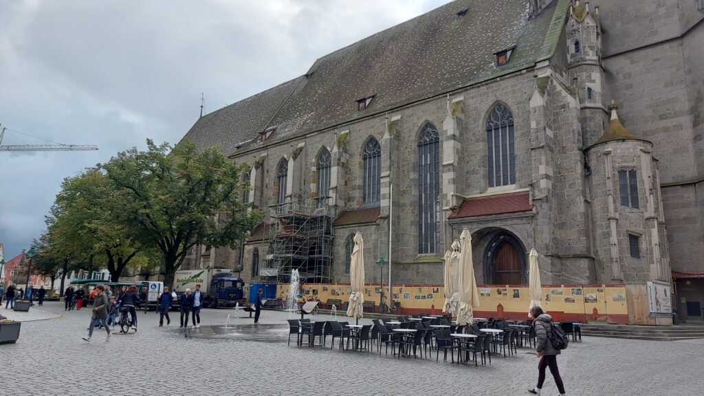

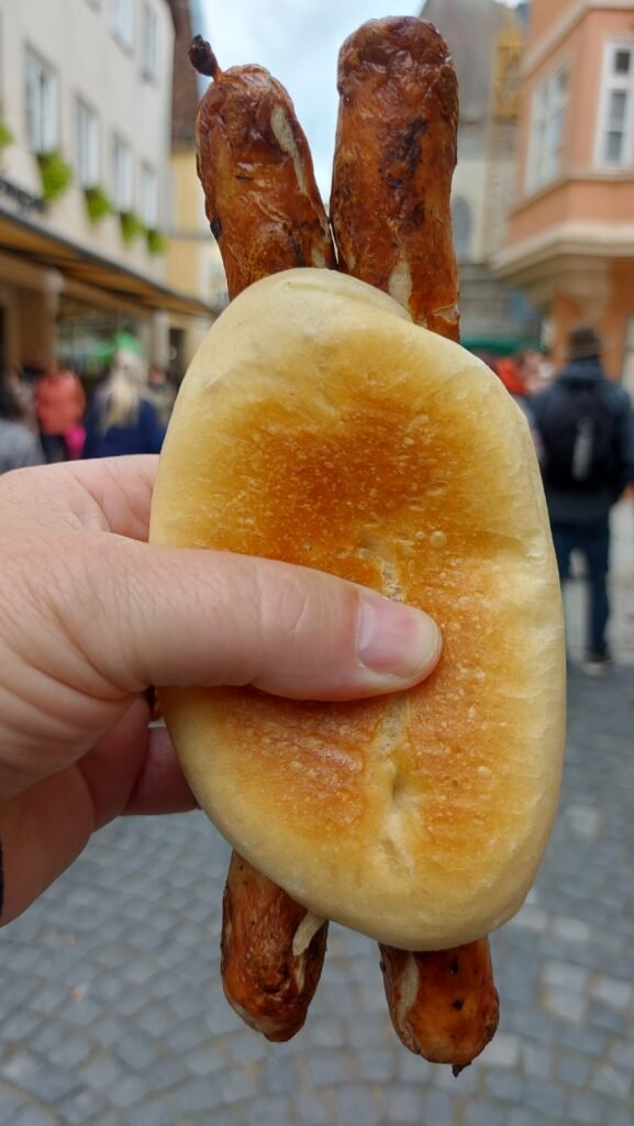
This being Germany it was no surprise that the busiest stall by far was the one selling bratwurst, a euro more expensive than usual at € 5.50 (£ 3.77) but you did get two sausages so that was enough to convince me to make one my lunch.
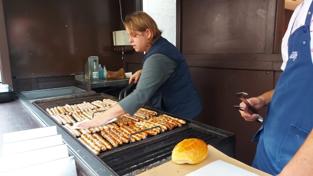


After walking around the centre and all the stalls we made another visit to St George’s Church, for a seat as much as anything but were confronted with a few changes from yesterday in that a table full of autumnal produce had been set up along with a display of sunflowers.


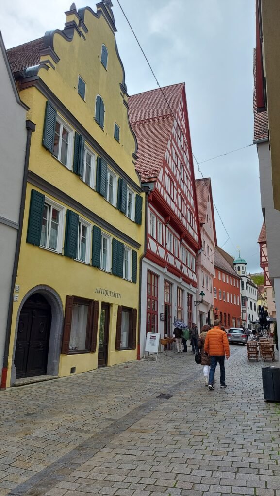
With a full day of exploring Nördlingen including a full circumnavigation, it was time to head back to the van where we had our traditional Saturday night curry before The Navigator settled down to watch Strictly.
Sunday 6h of October
Nördlingen
We have decided to stay another night here, not just because it is free to stay as long as the meter is not working, but as I’ve mentioned before, nothing is open on a Sunday in Germany so we could not see our next destination of Dinkesbühl at its best today anyway. It will also give us a relaxing day after some hectic sightseeing recently and I will attempt to get the first blog of this journey finished off and posted online.
Late yesterday afternoon a British registered campervan parked next to us with a couple and a three-legged whippet, not something you see every day, but they left before nine o’clock so we never had a chance to chat to them. Later on in the morning another Scot, parked a bit away from us, came to have a chat and Seamus (yes he really was Scottish) explained his route which had taken him to northern Italy including Venice and this was him heading north towards the chunnel at Calais. By the way, Seamus recognised our accents as being from Falkirk, which no one has ever done before, especially since we left the Falkirk area in 1996!
Later on in the afternoon a Carthago (posh van) parked behind us with another couple now heading northwards after making it as far as Croatia and Slovenia, which they both recommended.
Monday 7th of October
Nördlingen to Dinkelsbühl (49.074729, 10.322431)
The Carthago beat us to the services this morning before heading off. After we serviced the van ourselves, the satnav was set for Dinkelsbühl and off we set. The drive was just over half an hour through a very pleasant undulating landscape with small villages off to either side with their white painted churches, usually with an onion shaped spire.
When we reached Dinkelsbühl the satnav was telling us to go straight on at a roundabout but the distinctive yellow road signs were telling us to go right to avoid roadworks. Following the diversion was going to mean that we would miss the Lidl we were heading for but it took us past an Aldi Sud so we stopped for some shopping there before finding the Stellplatz. This one was within walking distance of the town centre but quite heavy rain came on after we parked up so we waited until after lunch to head into the town.
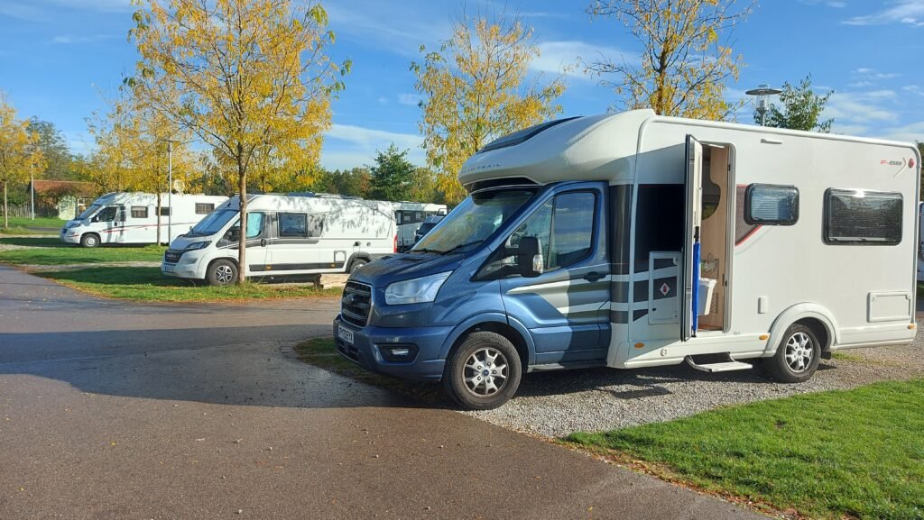
The Carthago was here when we arrived as was a British campervan. The Stellplatz was again part of a car park with about thirty designated places for motorhomes with all the usual facilities all for € 8.00 (£ 6.71) a night.
Along with its two neighbours (Rothenburg to the north and Nördlingen to the south) it is one of the only remaining walled medieval towns in Germany and its imposing minster and the timbered buildings give visitors a strong impression of how the towns appeared in the Middle Ages. Dinkelsbühl is a fabulous town to stop off along the way on a journey down the Romantic Road. It is one of Germany’s most “romantic” medieval towns and many of the hotels can trace their origins back to the days of the Middle Ages – as inns or merchants’ houses or as storehouses.

Unlike Nördlingen however you cannot walk on the wall that encircles the town. That apart, this is an exceptionally beautiful, well preserved historical town that the Germans seem so good at in this part of northern Bavaria.
The Stellplatz is just two hundred yards or so from the former defensive wall and the entry tower you pass through to head into the centre. The street you are now on has a colourful collection of houses, shops and hotels.
Entering through one of the town’s four massive medieval gates, it feels as if you’ve slipped back through time. The best way to enjoy Dinkelsbühl it seems is to simply stroll along the cobblestone streets and take in the historic atmosphere. With practically every building between two and six hundred years old, it is a photographer’s dream, although, with rain forecast for later and the sky a bit overcast, this photographer would have liked it a bit brighter.

The main streets contain a good mix of shops, both independent and national and the striking feature was that all of the shops and businesses had their name painted on the wall above their premises in a Germanic font and there was not one single plastic or neon sign which added to the historical feel to the town.
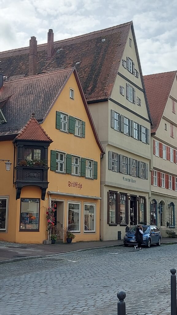
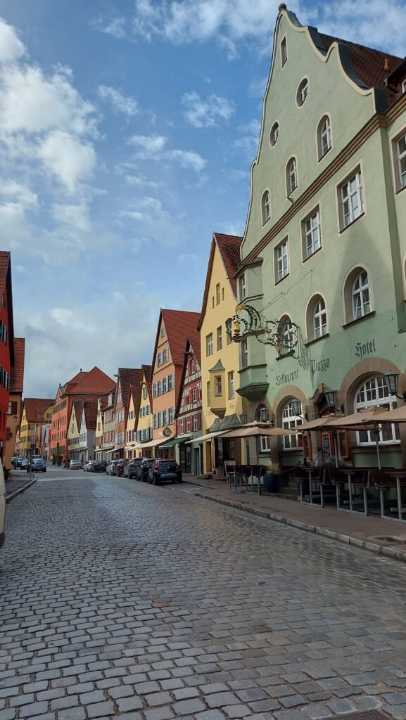
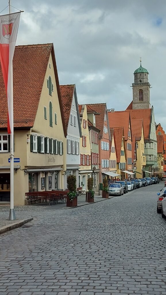
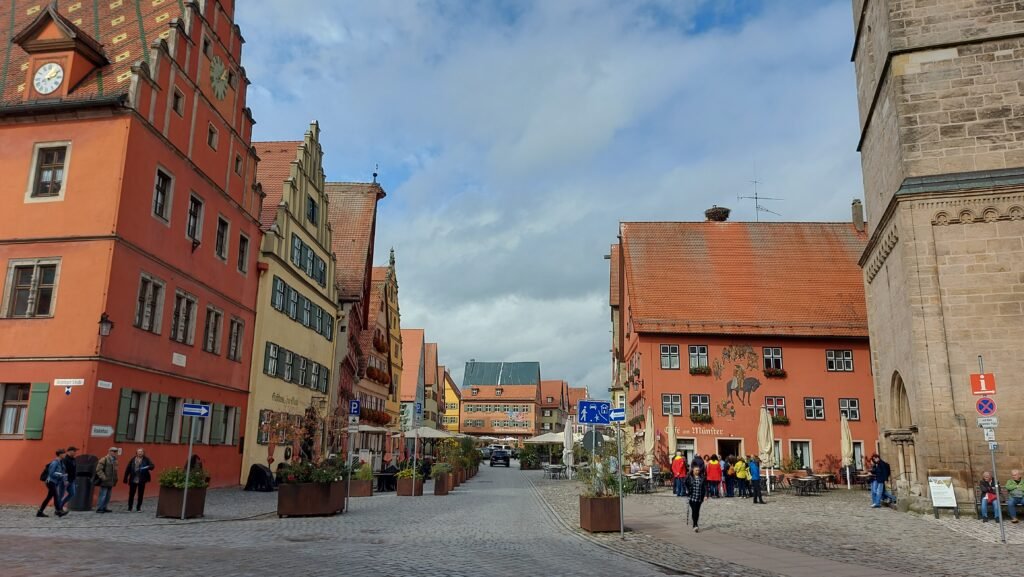
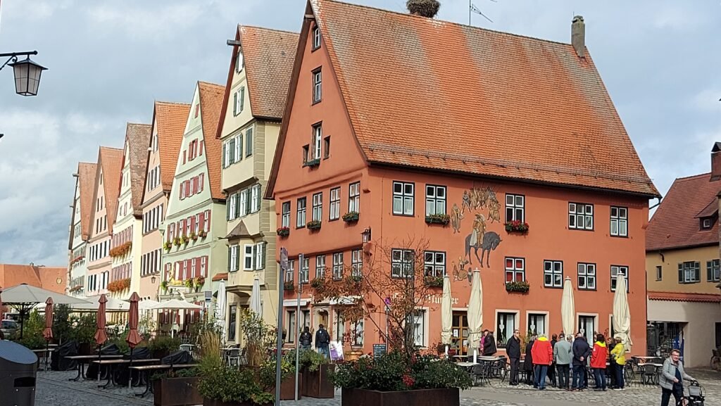
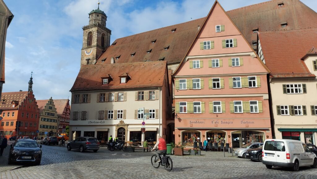
As you will know by now, three o’clock is tea, coffee and cake time and today was no exception, only today’s cake was a first for us, a Schneeballen which is a deep-fried pastry made from shortcrust pastry especially popular in this area. Its name derives from its round, ball-like shape, its diameter of about eight to ten centimeters, and its traditional decoration with white confectioner’s sugar, which I managed to get all over me!
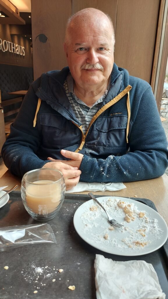
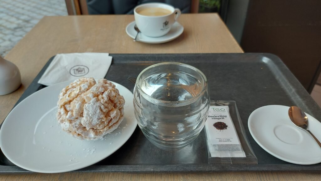
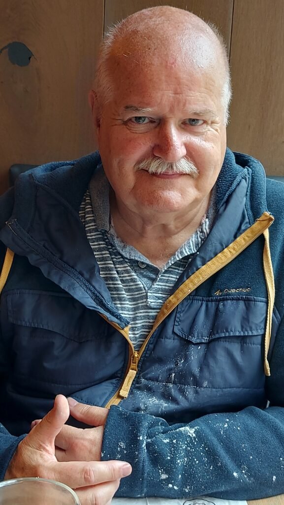
First mentioned in official documents in 1188, Dinkelsbuehl is believed to have been founded almost 300 years earlier. It grew up between two major trade routes that over time have morphed into the tourist routes still followed today. This intersection was marked with a defensive tower in the 12th century, which was later incorporated into the massive St. George’s Minster in the town square, which, like so many German churches, was built on an impressive scale.


The town is surrounded by some three hundred lakes and ponds, and there are dozens of idyllic parks, bike paths, and walkways with which to enjoy the surrounding countryside. One of these little lakes is just outside the Rothenburger Tor (gate) and after our walk about the town, we sat on a seat to take in the superb view of the tower and surrounding gardens.

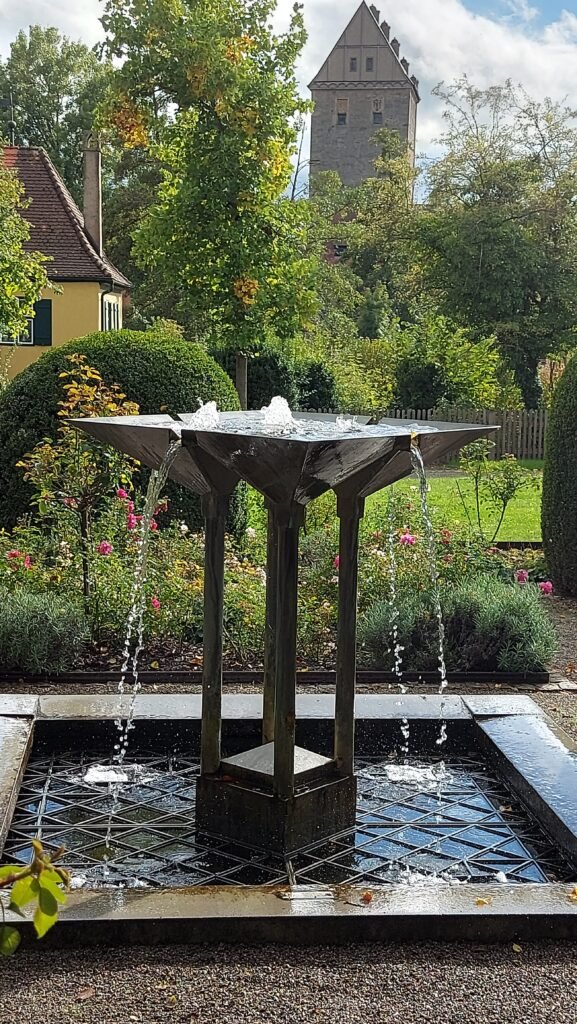
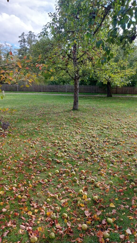
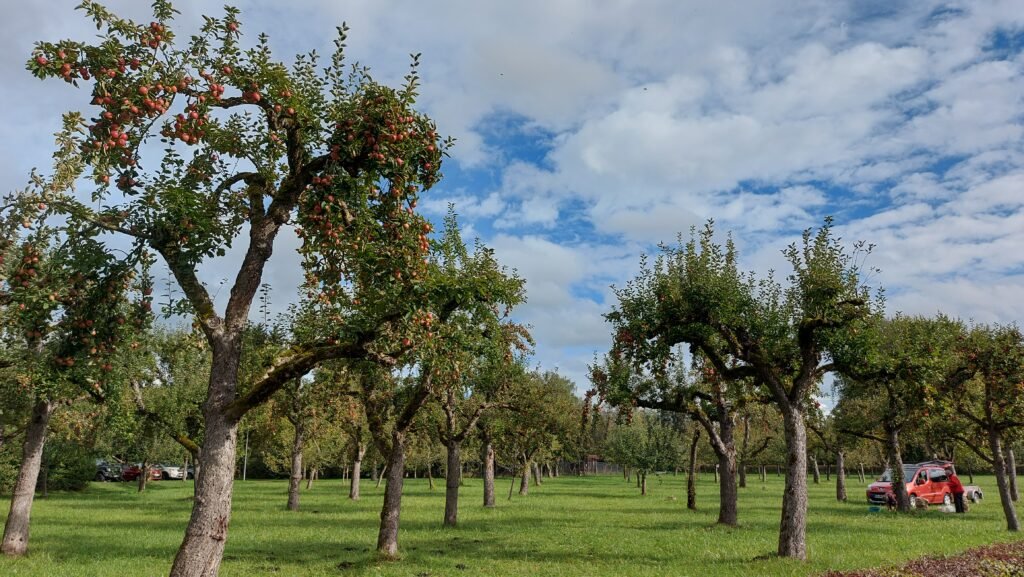
We had earlier passed an orchard and two people were harvesting the apples and had a trailer almost filled with their haul. We weren’t sure if they were eating apples or cooking apples but as we rose from the bench and walked through the garden we came to some more apple trees with what seemed like hundreds of apples on the ground going to waste. The Navigator found two that looked in good condition and took then to try later. She also added to her growing chestnut collection on the way back to the van.
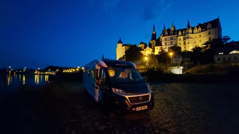
As we passed the British campervan we got talking to the couple for ages and found out they had not long started living in their van full time. It wasn’t the biggest of campervans but they seemed to be enjoying life on the road. Their van is on the right in this next picture.
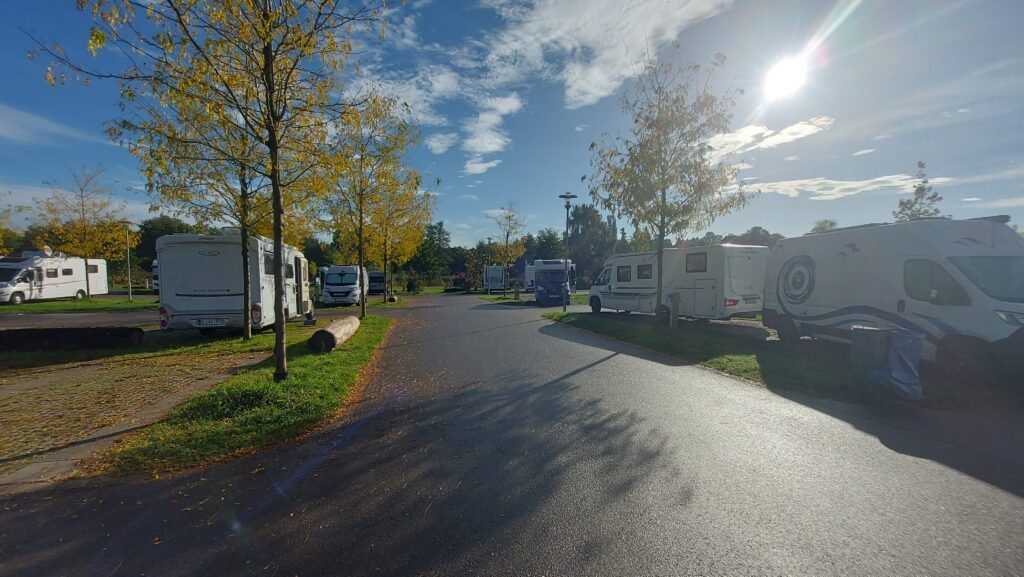
Back at our van we plugged into the electricity and settled down for a relax until I was served up another splendid dinner, cooked by my very own personal chef!
It started to rain at this time so we settled down for the evening but apparently as darkness descends, the night watchman begins his rounds, clad in traditional clothing and armed with the customary halberd and horn. You can apparantly follow him on his nightly march between April and December for a tour of this beautiful historic town by lantern light. Sounds good, but we were to cosy to venture out in the rain…
Tuesday 8th of October
Dinkelsbühl to Rothenburg ob der Tauber (49.381841, 10.188776)
On May 15, 1274, King Rudolf of Habsburg confirmed Rothenburg’s imperial city privilege so in 2024, the 750th anniversary of that event is being celebrated. With its historic old town, its unique location above the Tauber valley and its romantic half-timbered houses, Rothenburg ob der Tauber is for many the epitome of medieval Germany. Tourists from all over the world, including Ardrishaig, travel to western Middle Franconia to capture the unique atmosphere.
Back in the first week of this trip, before we even knew we were going to travel on the Romantic Road, Brits we met said we must visit Rothenburg ob der Tauber as it is such a beautiful town, some say the most beautiful in all of Germany, even though the Americans flattened 45% of it in the last few weeks of WWII.
The drive from Dinkelsbühl was only forty minutes or so under clear blue skies so it seems odd that the weather forecast has 70% probability of rain from four o’clock onwards. The rain came on at three thirty so it was fairly accurate after all. The Stellplatz I chose was maybe the wrong one in hindsight. There are two here and, although very close to the entry point through the ancient tower on the town wall, this Stellplatz has no power points, which for € 15 (£ 12.58) a night is a bit off, but, as Kirsty and Phil always say “Location, Location, Location”.
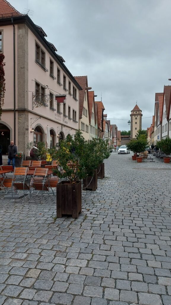
We parked up and more or less set off straight away to explore this town that we’ve heard so much about and as soon as we entered through the Galgentor (Gallows Gate) on the outer wall and on to the White Tower on the inner town wall, we could see immediately why it lives up to its reputation as being the most spectacular town on the ‘Romantische Straße’.
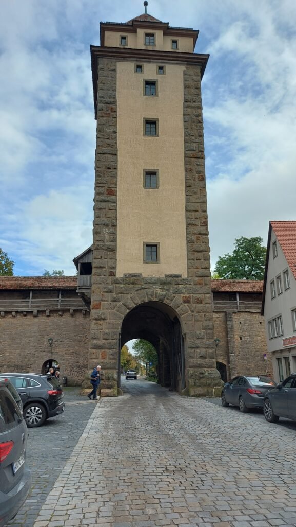
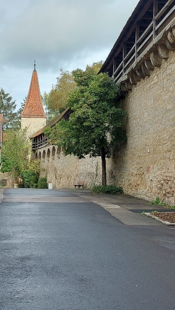
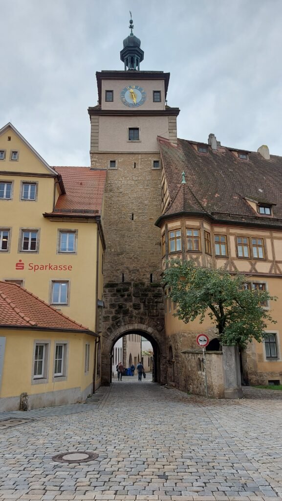
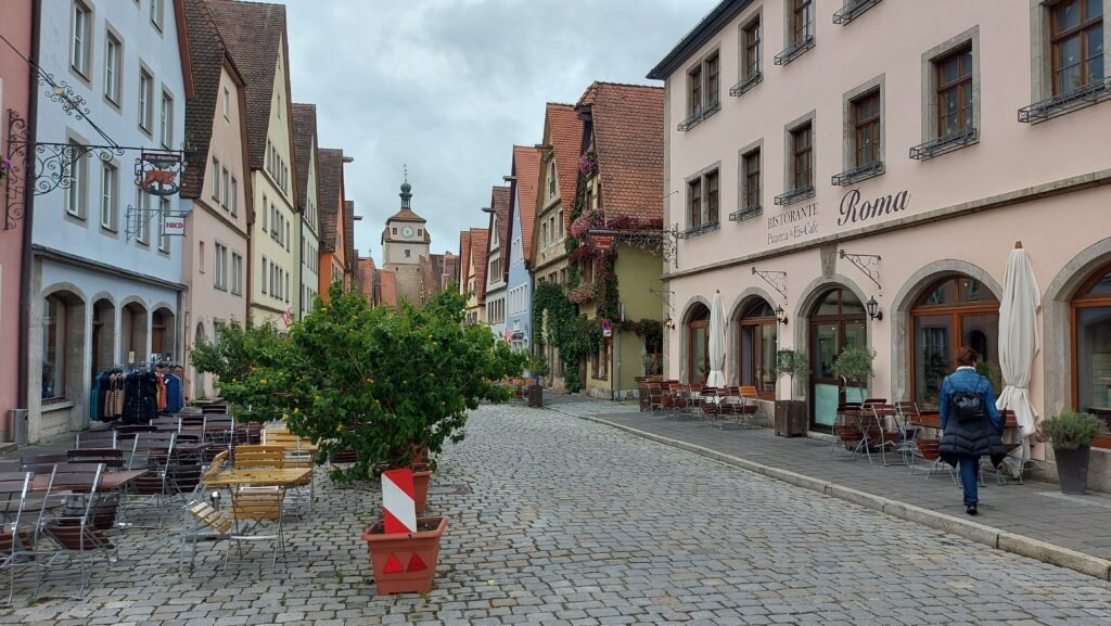
However, coming with the ‘spectacular’ tag makes it an inevitable tourist trap. Don’t get me wrong, we are tourists as well, but this morning the main town square was full of groups of American and Japanese tourists in particular, following their guide, flag in hand to keep their flock following on.
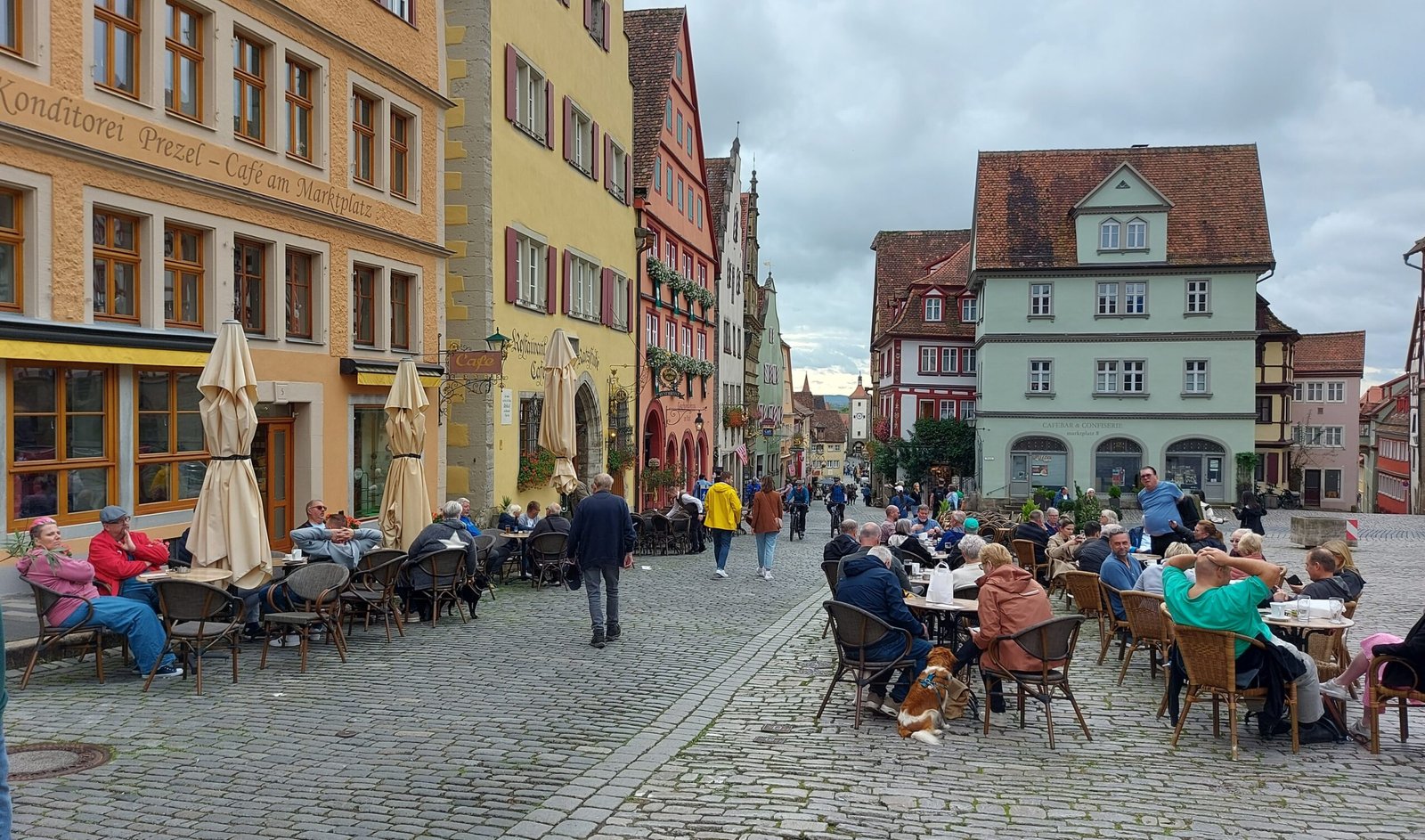
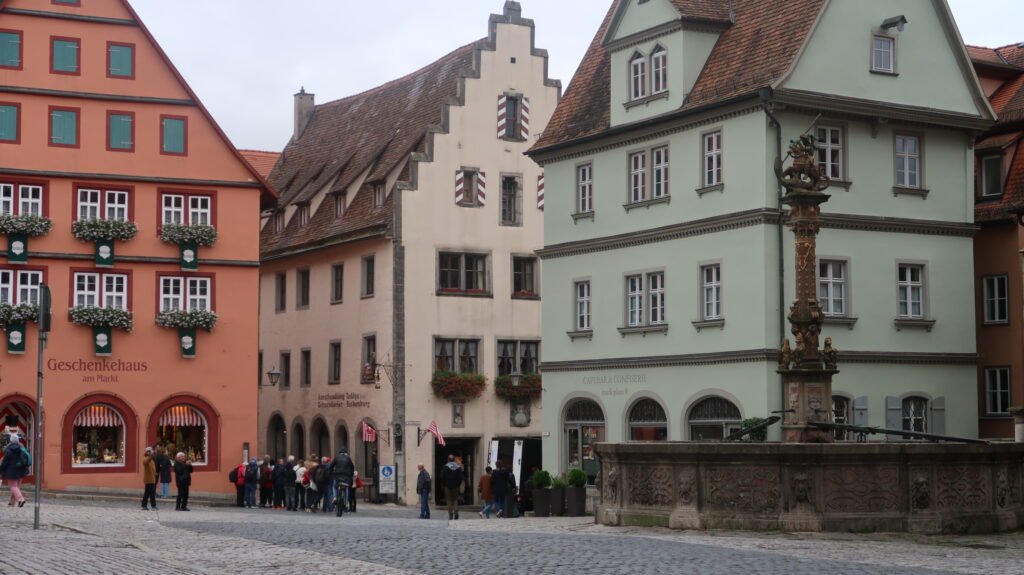
After about a hundred yards you turn left and walk towards the Markplatz, the main square, and setting aside the throng of people, you just have to admire the medieval half-timbered architecture around you but the main focus of attention has to be the Rathaus (town hall) which is more like a monumental castle building than a mere civic building.

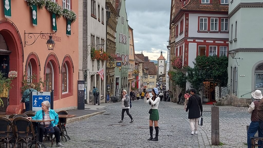

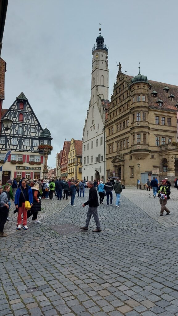

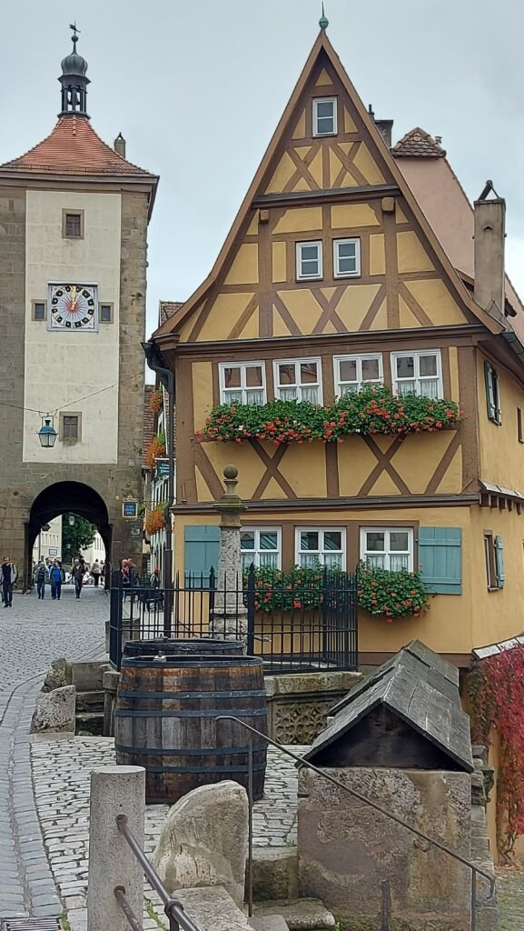
From the main square you continue walking down a slight hill admiring all the shops with their impressive window displays full of quality items, especially traditional items like wooden toys for children. You arrive at the much photographed Plönlein. The yellow half-timbered house is the focal point of this area and there was a queue of people taking selfies in front of it. However Plönlein, translated means “small place by the fountain”, and therefore also includes the fountains in front of the half-timbered building and the two towers of the old city wall, which can be seen to the left and right of it.
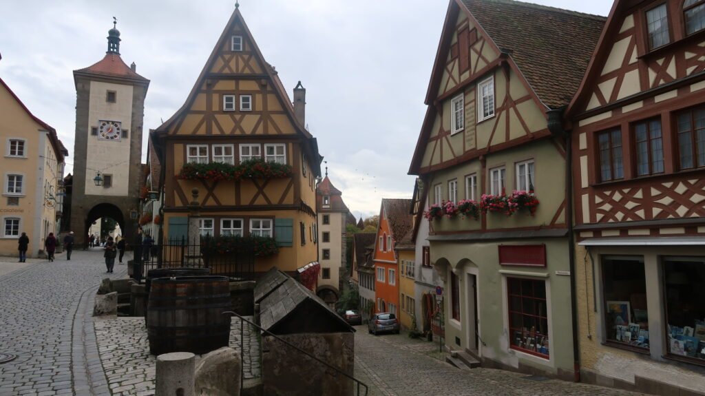
Apparantly, the 1940 Disney classic “Pinocchio” used the Plönlein as a model for one of the buildings shown in the film to depict a typical medieval European backdrop. Who knew?


We continued walking past it to the next town gate called the Spitaltor. There is a plaque here with the inscription, “Pax intrantibus, salus exeuntibus” – “Peace to those who enter, salvation to those who leave”.
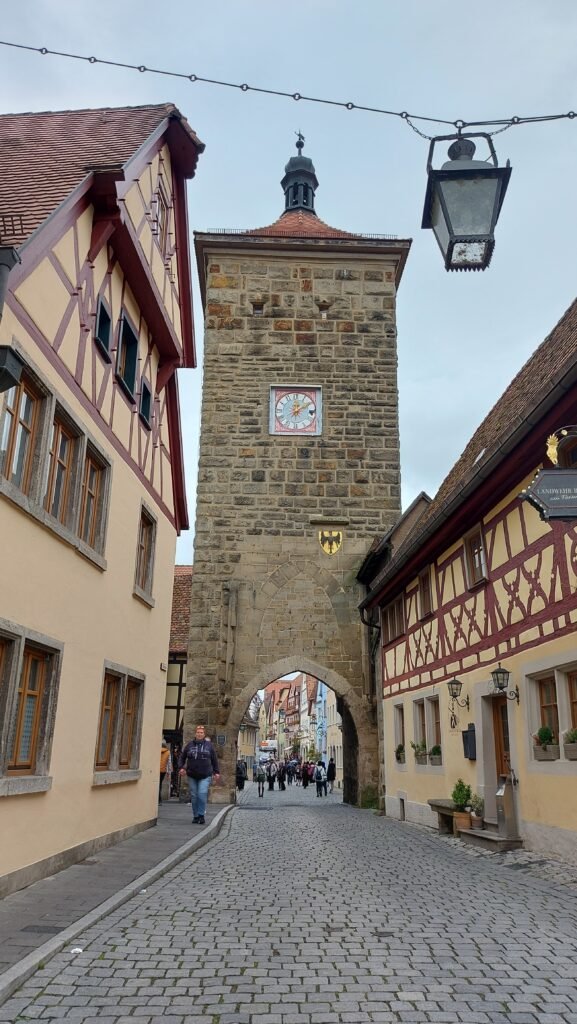
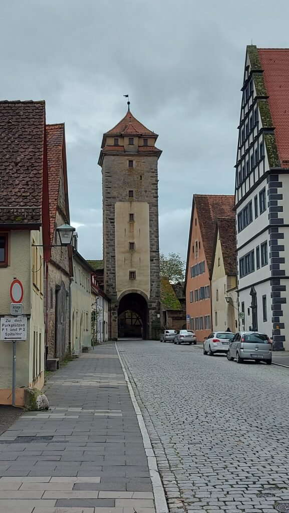
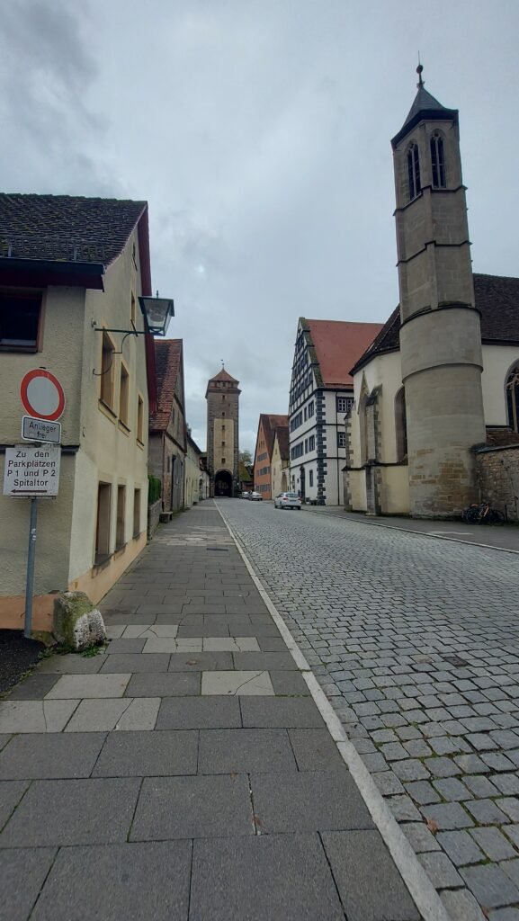
We retraced our steps and found a butchers shop selling takeaway assorted meat items in the obligatory bread roll and we both tried a new one on us, described by the server as meat loaf pizza style and it was really delicious and as a bonus the bread was actually soft and not crusty as they usually are.

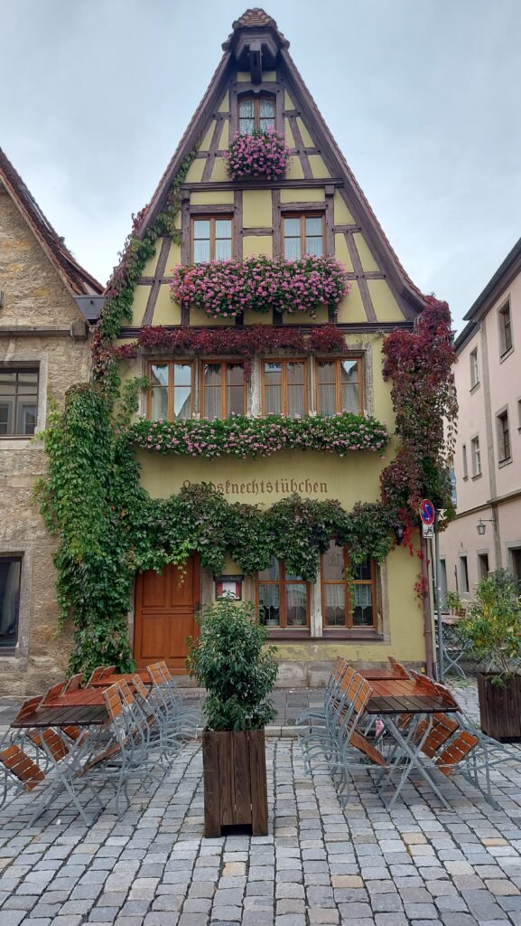

After this we went off at a few tangents to see some of the individual properties that caught our eye earlier. Everywhere you seemed to look there was another tower, some round, some square, which added to the historical aspect of the place and it is thanks to a German commander in WWII that the town retains its medieval character.
In March 1945 towards the end of World War II, German soldiers were stationed in Rothenburg to defend it. On March the 31st, bombs were dropped over Rothenburg by 16 planes, killing 37 people and destroying 306 houses, 6 public buildings, 9 watchtowers, and over 2,000 feet of the wall.
The U.S. Assistant Secretary of War, John J. McCloy, knew about the historic importance and beauty of Rothenburg, so he ordered U.S. Army General on the ground not to use artillery in taking Rothenburg. Six American soldiers carrying a white flag entered the town and one, who spoke German, explained, “We are representatives of our division commander. We bring you his offer to spare the city of Rothenburg from shelling and bombing if you agree not to defend it. We have been given three hours to get this message to you. If we haven’t returned to our lines by 18.00 hours, the town will be bombed and shelled to the ground.”
The local German military commander, Major Thömmes gave up the town, ignoring the order of Hitler for all towns to fight to the end and thereby saving it from total destruction by artillery, and we have to be thankful he did.
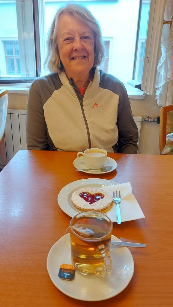
By mid afternoon we were flagging and, as is the custom, we had our reviving tea, coffee and cake, which this time was heart shaped in tribute to our journey on the Romantic Road. The Navigator added to her chestnut collection on the way back to the van and we just made it before the forecast heavy rain started.

Wednesday 9th of October
Rothenburg ob der Tauber
That was what could be referred to as a ‘disturbed nights sleep’! First, at 3.30am, for some reason my phone burst into life to tell me an SD card had been fitted, then at 5am, a nearby lorry started its engine and took another ten minutes to move off. The joys of sharing a car park with lorries and buses.
Today’s mission was to walk around the complete town wall circumference which is twice the distance, allegedly, of Nördlingen so we were looking forward to the challenge. At the outer town wall we climbed the narrow staircase and The Navigator immediately found out that this wall was twice the height of the one at Nördlingen, not a good start for her. She then discovered in short order, that it was a very uneven pathway with quite a few trip hazards leading to an uncomfortable morning’s stroll!
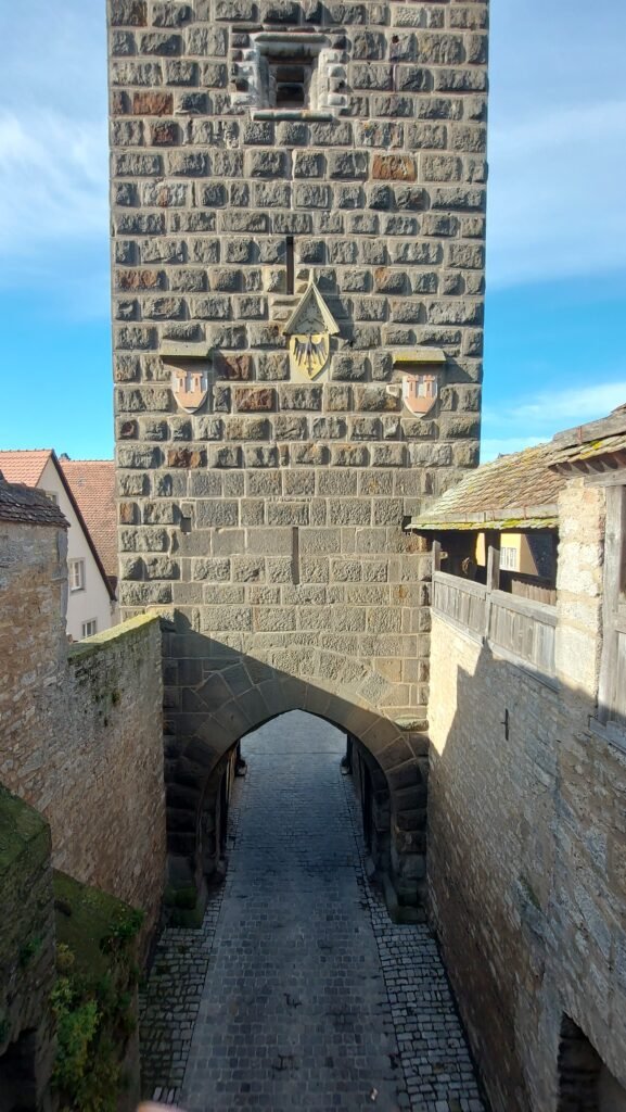
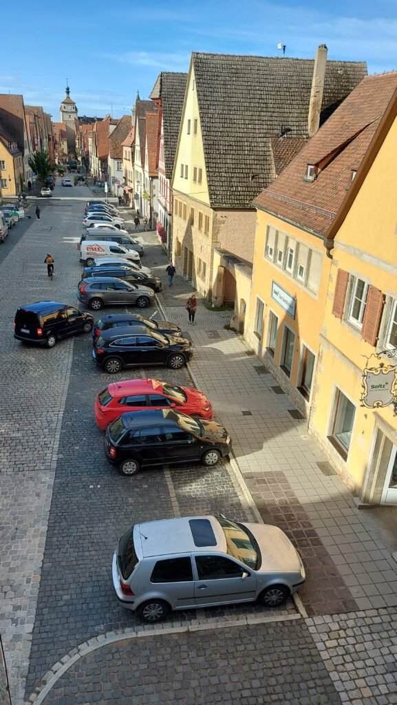
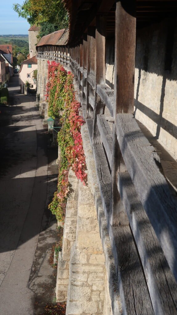

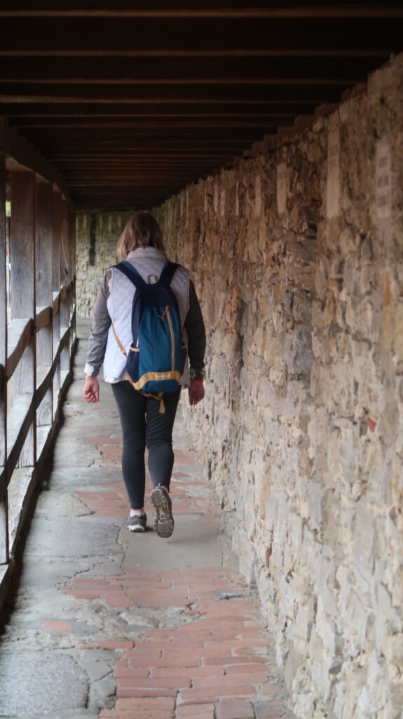

The condition of the walled walkway can be excused as some sections of the fortified stone wall date back to 1142 and it was built to protect the young trading centre and its royal castle. After being named a Free Imperial City in 1274, the fortifications were strengthened, the watchtowers were enhanced, and the wall was expanded as the town grew. By 1400 Rothenburg had grown to be the second largest city in Germany thanks to the wool trade and markets that prospered behind the protection of the two mile long wall.
We were not that long into our walk when we discovered the walkway does not fully circumnavigate the town and we had to come down very narrow steep steps and continue walking on a road beside the now narrow wall.
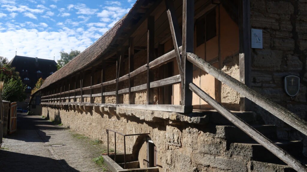
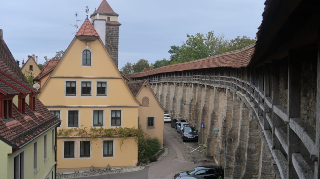
As our walk progressed the pathway went outside the wall and we saw views out to the open countryside which looked to have been untouched for centuries. We came to the same spot we discovered yesterday and found what looked like a former church now seemingly a memorial to the town’s war dead.
Continuing on from there we intermittently went back up on the ramparts but it never lasted very long before we were back down at street level. As it was now lunchtime we descended from a particularly high point on the wall and found a Chinese restaurant that we had passed yesterday and had an excellent lunch and a convivial chat with a Malaysian woman and her Dutch husband.


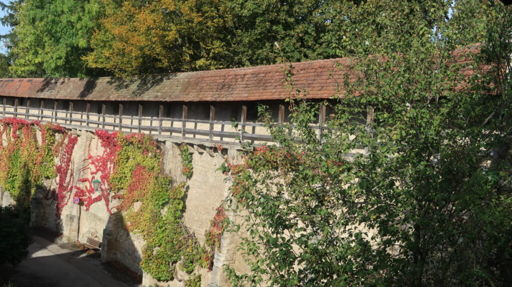


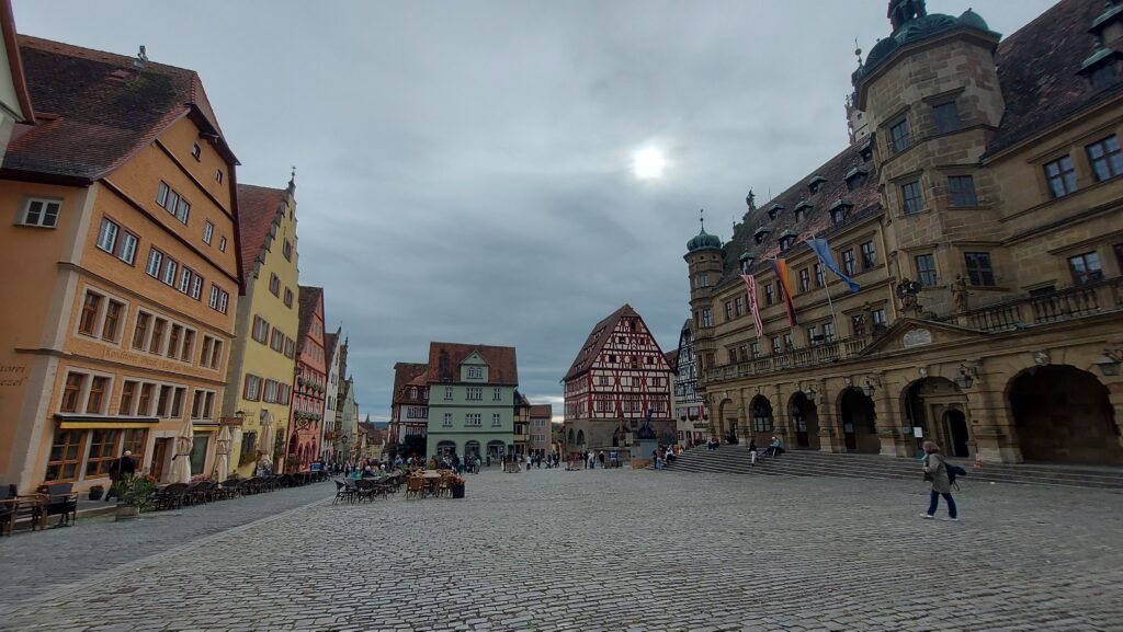
It was then time to climb another steep staircase for the final section where we had views over to the church and it’s twin spires. One of the highlights on this part of the wall was to see the former blacksmith’s premises, which, after being bombed in 1945 and restored in 1951, is now a very pristine private residence.

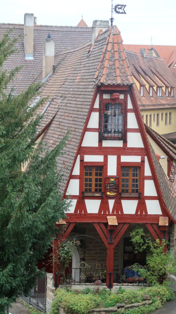

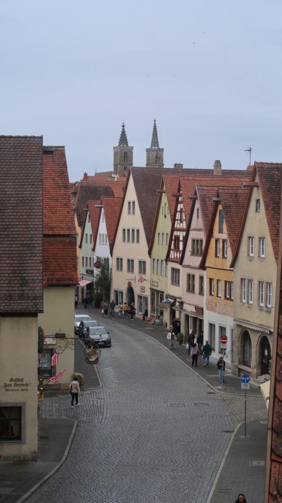
When we arrived back at our starting point, The Navigator gingerly descended her final staircase and we wandered down to the main square again for the final time and sat taking in the view. Like yesterday, there were fewer tourists than in the morning, but we did meet the British couple from the Carthago motorhome that we have seemingly been in a convoy with recently.


Towards the end of the afternoon it was starting to rain and we decided to make our way back to the van but managed to (deliberately) stumble upon the bakery we were in yesterday and had our tea and coffee with by far the best apple cake we’ve had on this trip.
Back at the van we relaxed as it rained on and off for the rest of the evening.
COMING SOON ON THE NEXT BLOG…
The next blog will see us arriving at Wurzburg and the end of the Romantic Road, but far from the end of visiting more amazing places so look out for the next blog in a week or so...
Stay tuned, and if you are not already SUBSCRIBED to these blog posts, then use the subscription form to sign up to be notified of the new blogs when they go online.
To read the first blog in this series – CLICK HERE
To read the second blog in this series – CLICK HERE
To read the third blog in this series – CLICK HERE
To read the fourth blog in this series – CLICK HERE
This is the fifth blog in this series
